Take some time to wander on the bridge, noting the intricate lattice work construction. Built in 1852, Sach’s Bridge is more than a charming artifact. Standing on the bridge, you can imagine the caissons and cannon rumbling over the wooden planks. The bridge was preserved by the Gettysburg Battlefield Preservation Association and is on the National Register of Historic Places.
To continue, turn left on Pumping Station Road and enjoy the view of tidy Adams County farmland. In about 1.5 miles, turn right onto Camp Gettysburg Road. Then at Route 116, turn left toward Fairfield. As you approach Fairfield, the Appalachians appear on
the horizon. Just outside the village of Fairfield, turn right onto Carroll Tract Road, then take the first left onto Mt. Hope Road. Strawberry Hill. Morton Salt heiress Frances Morton Froelicher and her husband Hans purchased Strawberry Hill as a rustic retreat in 1960. Today, Strawberry Hill Nature Center and Preserve encompasses more than six hundred acres of mountain streams below Mount Hope.
Return to Route 116, and turn right into the village of Fairfield. In addition to the Historic Fairfield Inn, there is a casual Italian/pizza place, an authentic little diner, and, at the far end of town on the left, a quiet coffee shop serving terrific sandwiches.
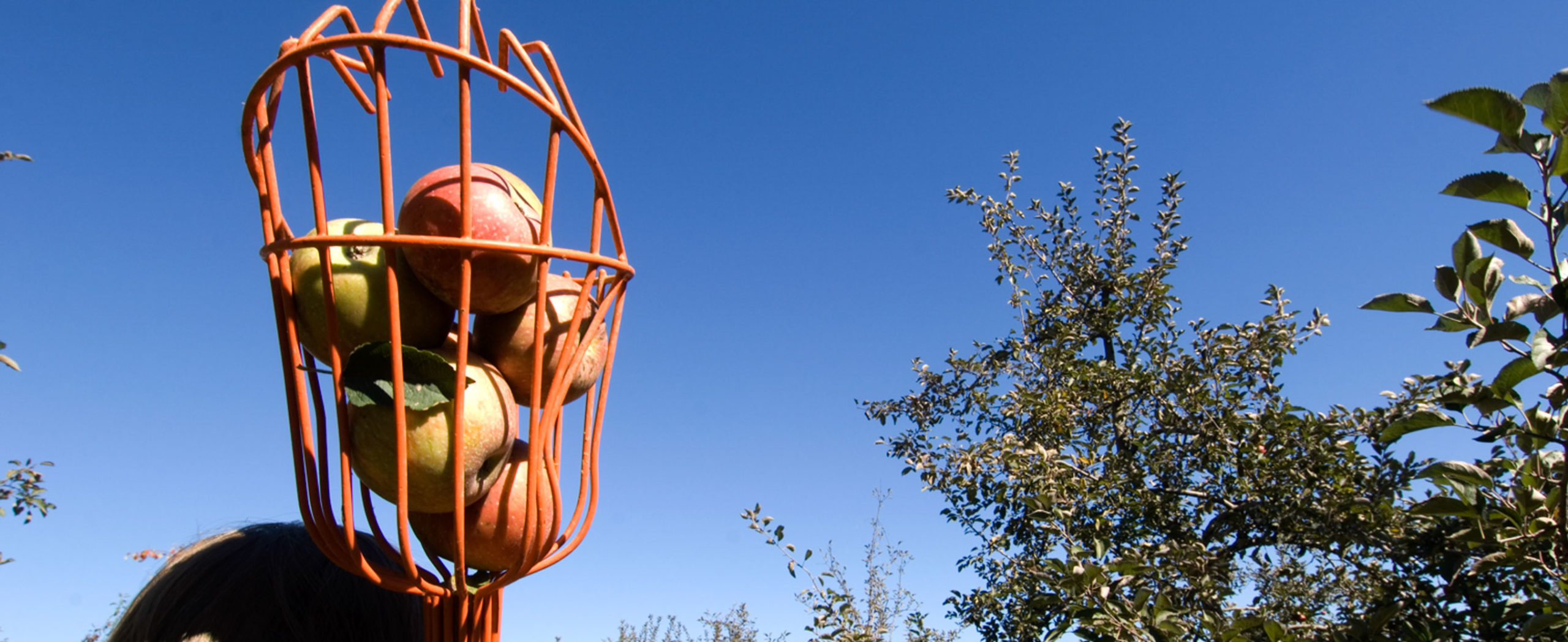
After a stroll in Fairfield, backtrack on Route 116 to Camp Gettysburg Road and turn left onto Knoxlyn Road, passing the lovely Lower Marsh Presbyterian Church, built in 1790. In 1.4 miles, turn left onto Knoxlyn-Orrtanna and soon enter orchard country, where rolling hills stretch into the distance. A fixture of the Adams County landscape for centuries, the Orchard Belt’s growers are being overwhelmed by imported fruit. If you like the view, eat some apples available at the family orchards along the drive. At the Knouse Food Cooperative, turn right on Orrtanna Road and follow it for about two miles to a four-way stop. Turn left onto Scott School Road. The immediate right is Bingaman Road—you will return to this after a stop at Adams County Winery. Follow the signs. Adams County Winery. At the end of a country lane, the winery is a scenic spot for a tasting and a picnic. You can purchase snacks for a fancy picnic under the pines.
Leaving the winery, backtrack to Bingaman Road and turn left. You’ll need to pull over to enjoy the views of South Mountain and Cashtown Pass above the endless orchards. In two miles, reach Old Route 30. Turn right and follow the same road Confederate columns took into Gettysburg. About two miles down the road, you can stop for a rest where the troops bivouacked Cashtown Inn. The inn has been serving travelers coming through the pass since 1797. It served as the Gettysburg headquarters for Confederate General A.P. Hill. There are gardens to stroll and a porch for sitting. For a special treat on a summer’s day, have a glass of the house raspberry iced tea out on the porch swing.
At High Street, turn left and proceed across Route 30 to the Round Barn Market on Cashtown Road.